

Disruptions: Extreme cold weather is expected to stay another day
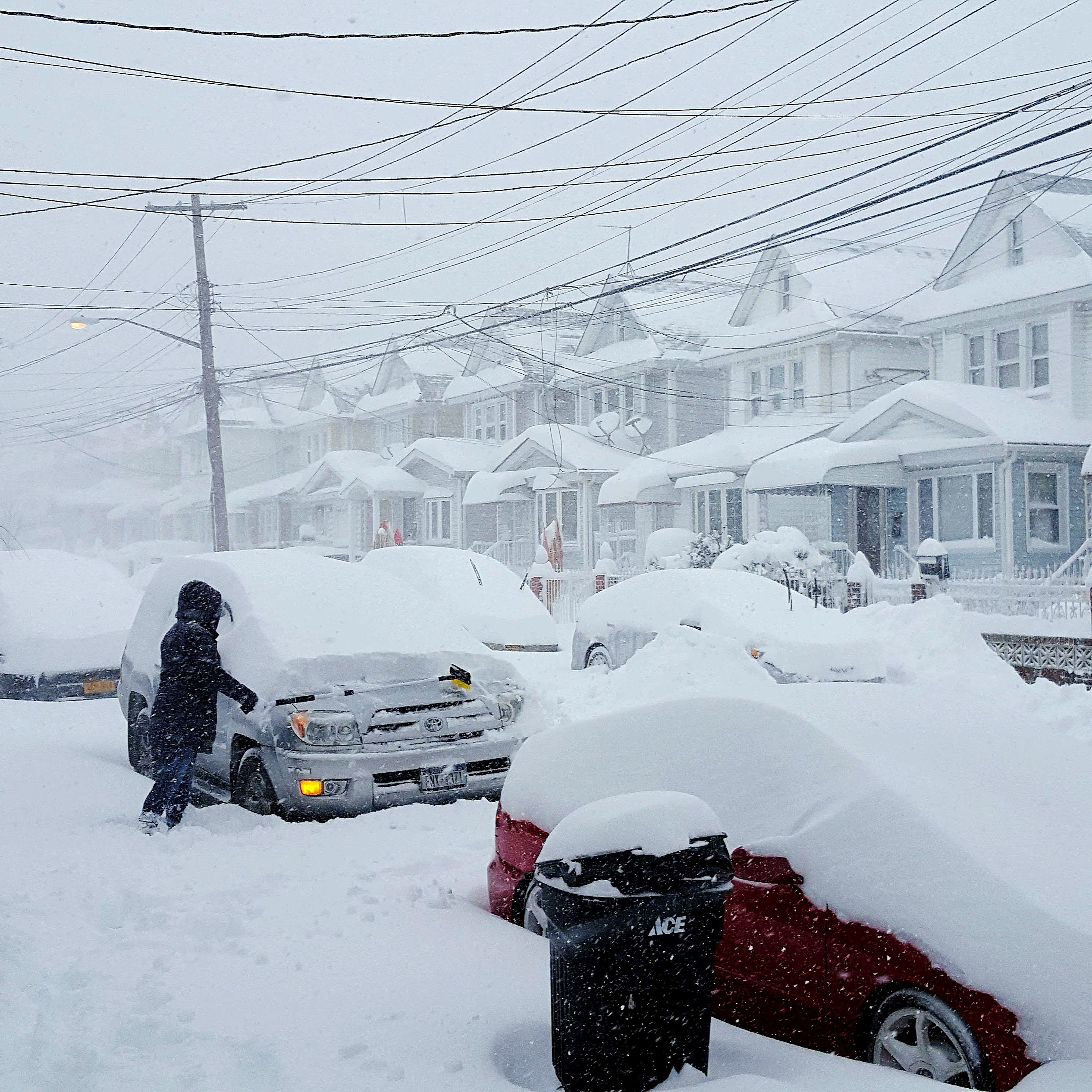
Reports of heavy snowfall throughout parts of the US

Extreme cold weather across northern Texas is expected to continue for another day, according to the National Weather Service (NWS), which forecasts continued heavy snow.
The NWS said residents in the Northeast can expect more snowfall, while light freezing rain is expected in parts of the Mid-Atlantic.
The weather office said low pressure just south of New England will move eastward over the Atlantic Ocean on Monday. The storm will produce heavy snow over the Northeast and patches of rain/freezing rain over parts of the Mid-Atlantic.
Snow will also develop along the Appalachians in the Mid-Atlantic on Monday.
Rain will develop along the Southeast Coast as the front moves offshore. In addition, light rain will linger over Florida through Monday afternoon. Furthermore, light snow will continue over the Northeast on Tuesday. Moreover, lake-effect snow will develop downwind from the Great Lakes on Monday.
A front over West-Central Canada on Monday will move southeastward to the Great Lakes by Tuesday. The system will produce lake-enhanced snow over the region from Monday evening to Tuesday.
In the meantime, high pressure over the Central Plains will create upslope snow over parts of the Central/Southern High Plains through early Monday. Moreover, weak onshore flow will develop light rain over parts of the Northwest Coast overnight Monday that will become heavier late Tuesday as the next front comes onshore.
The bone-chilling cold persists with wind chills as low as 4 degrees; temperatures are not expected to rise above freezing until Tuesday afternoon.
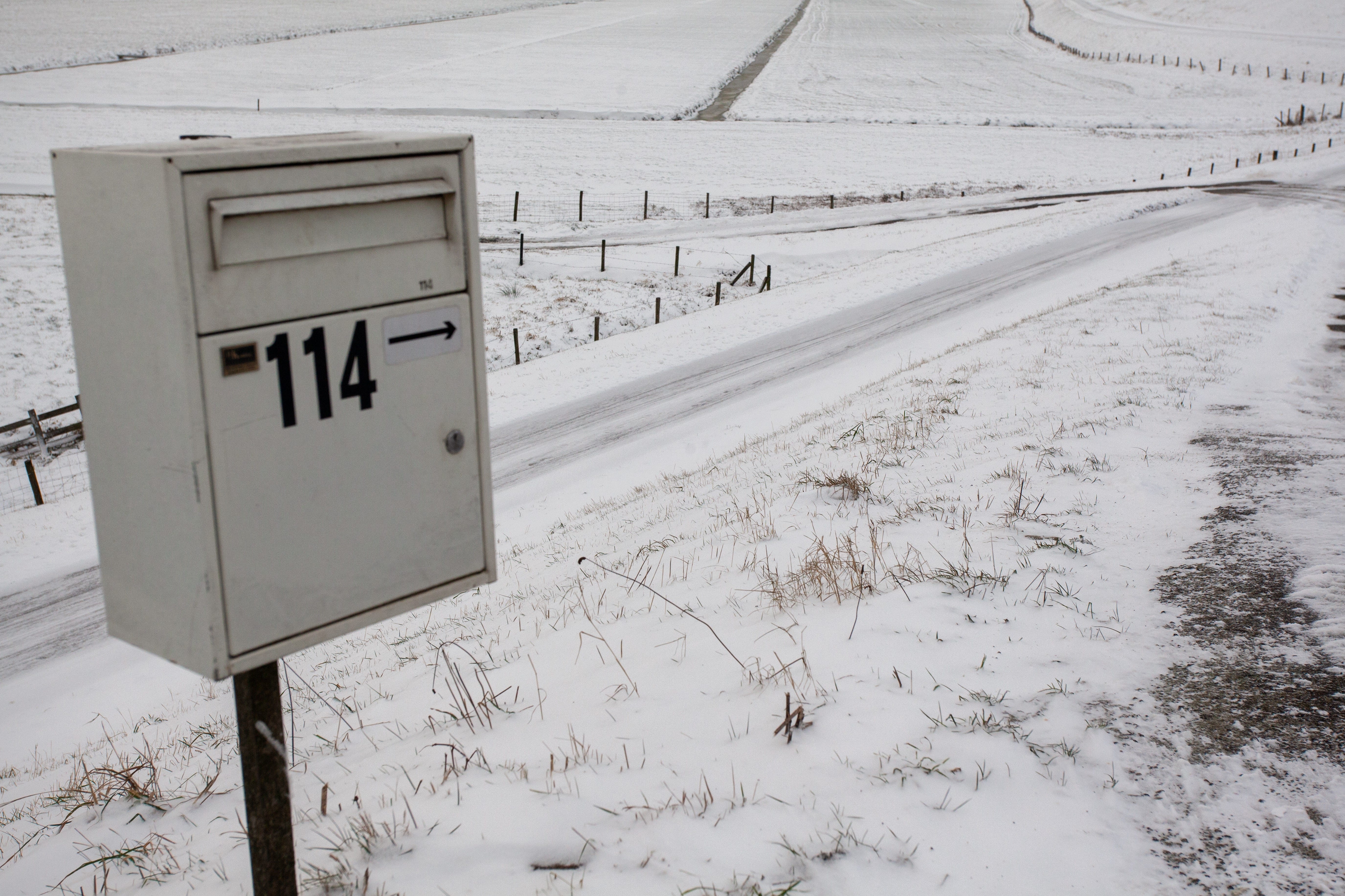
Widespread closures remain in effect for major North Texas school districts and city facilities as the region recovers from Sunday’s snow and sleet.
Dangerous fog and black ice are primary concerns late Tuesday into Wednesday as melting snow re-freezes, making travel potentially hazardous.
According to the NWS, the worst of the recent winter disturbance has begun to move out of the region. But cold and disruptions could stay longer.
According to CBS News, the latest total snowfall figures across parts of the US are as follows:
More than 35.5cm (14 inches) in parts of Missouri and Illinois
Almost 60.9cm (24 inches) accumulated in the Ohio Valley region
Totals of 55.8cm (22 inches) of snow have been recorded in parts of Massachusetts and New York’s Hudson Valley
Boston saw around 50cm (20 inches) of snow.